
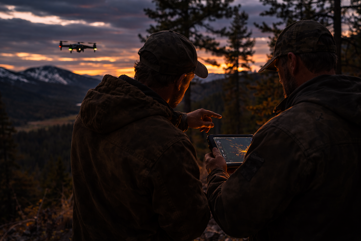
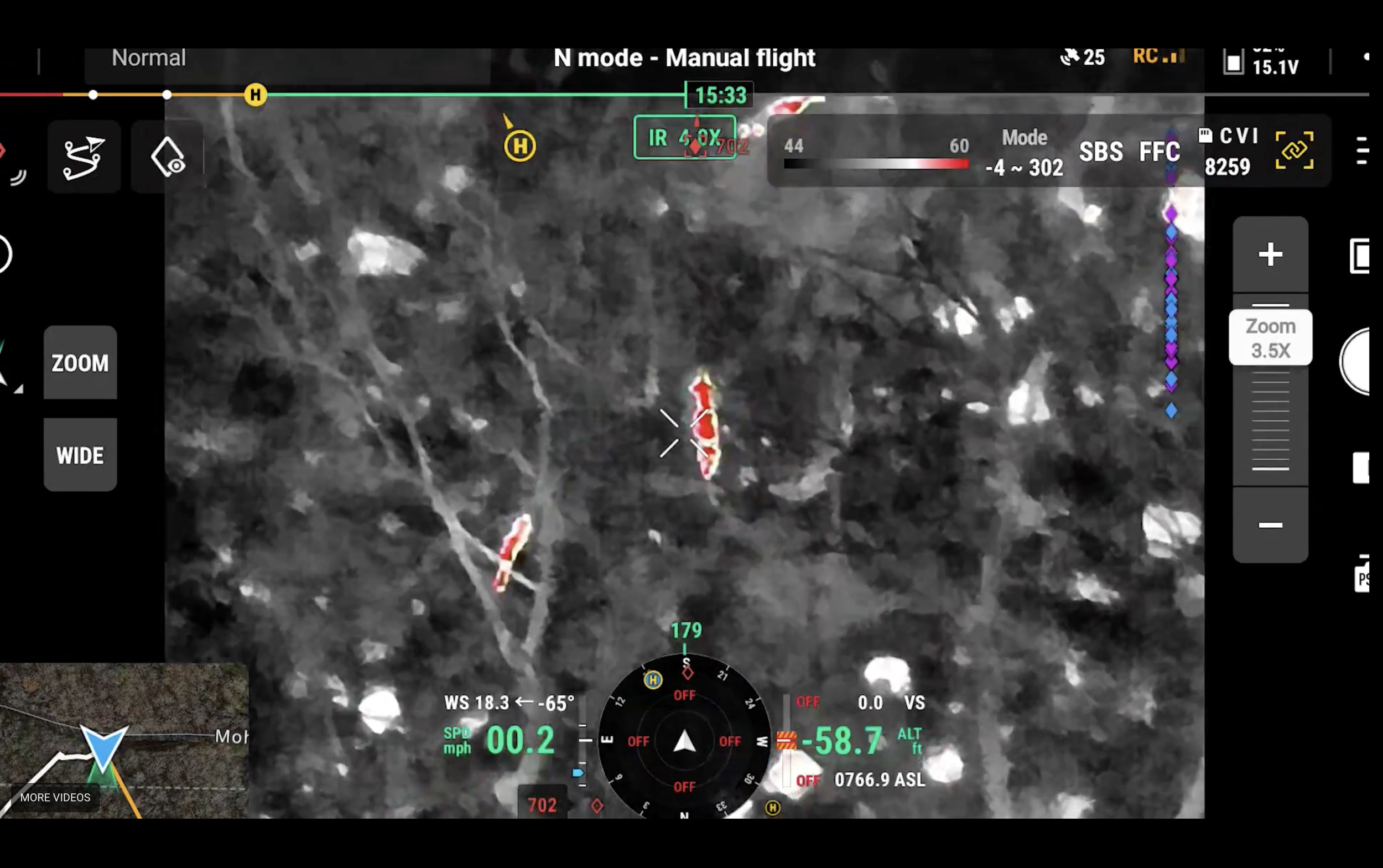
Thermal drones allow us to scan large areas of terrain quickly to locate downed or lost animals. Once detected, we guide hunters directly to the animal’s location.
Game Recovery
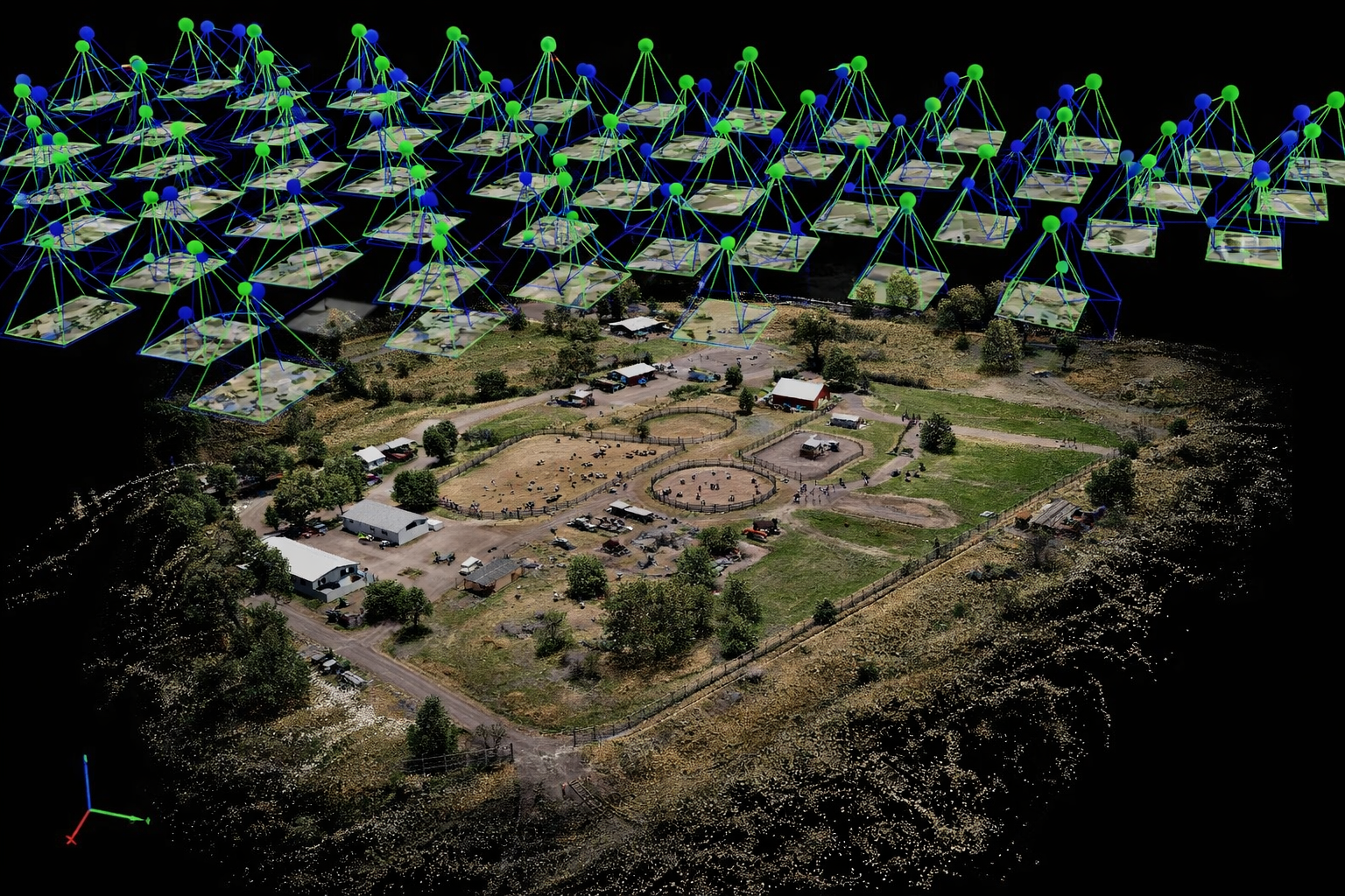
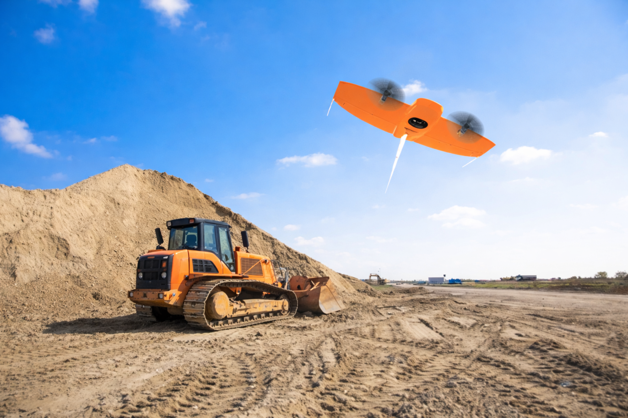
Aerial Mapping
We capture high-resolution aerial imagery and process it into accurate, georeferenced maps of your property. Deliverables can include volumetric measurements, orthomosaic maps, elevation models, and contour lines to support planning, documentation, and land management.
LiDAR uses airborne laser scanning to generate highly detailed 3D terrain and elevation models. This technology can capture ground surfaces even beneath vegetation, making it valuable for engineering, development, forestry, and large-scale land analysis. While highly accurate, LiDAR data is not intended to replace a licensed land survey.
LiDar
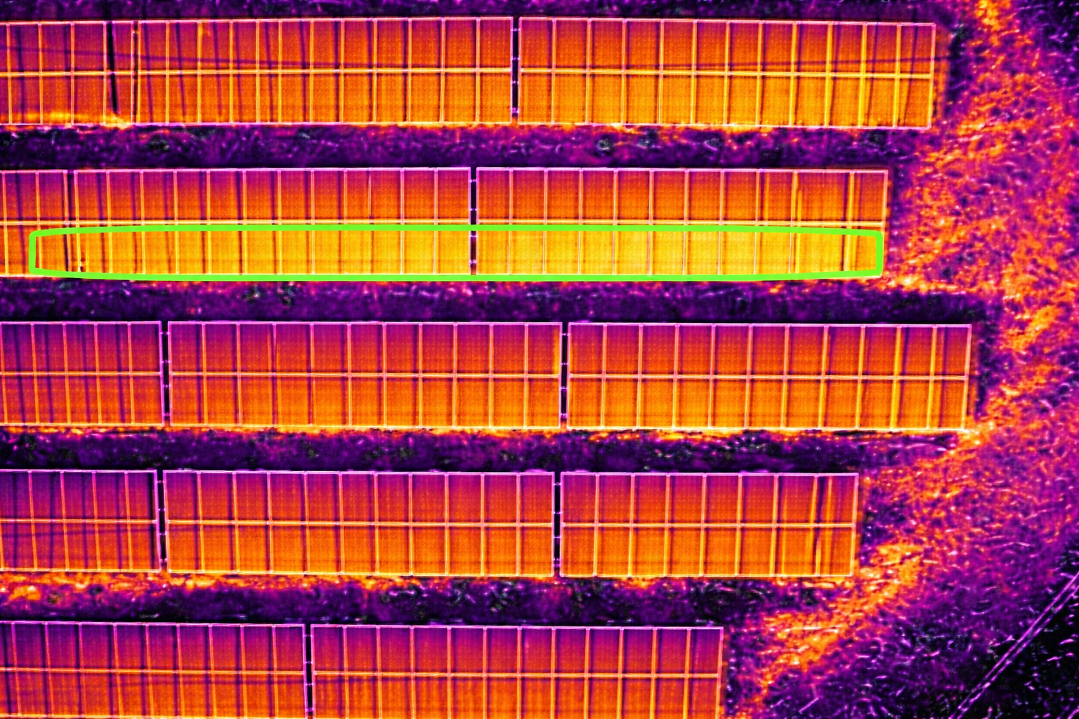
Thermal Mapping
Thermal drones detect heat differences across surfaces to identify issues that may not be visible to the eye. This technology is commonly used to locate equipment failures, monitor solar arrays, inspect infrastructure, and identify thermal anomalies across large areas.